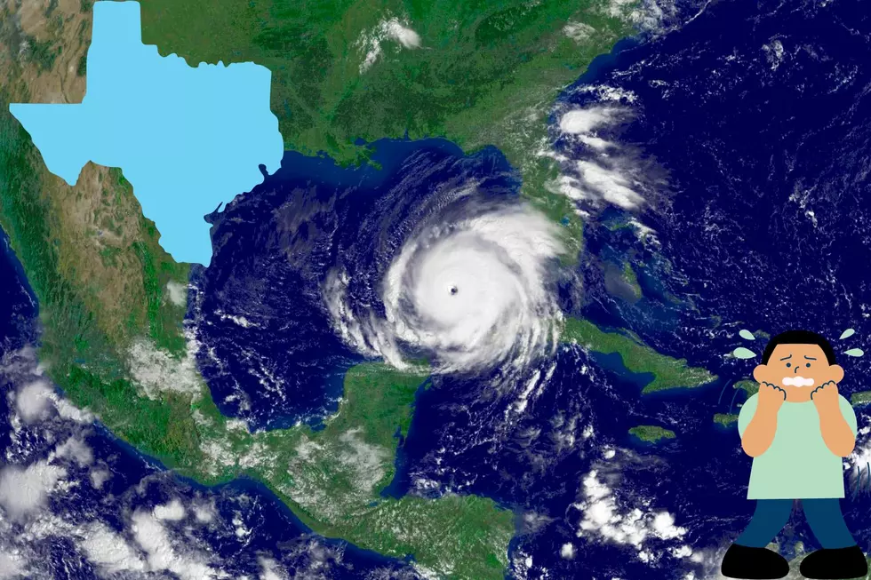
Winter II: The Sequel! More Bad Weather Coming
Winter is not quite done with us yet. Strong winds have already begun and, as another big storm hits the central part of the country, some of it is heading for the El Paso area.
According to The El Paso Times; "The weather is expected to get ugly tonight, and local officials are preparing for any possible hazards the cold blast might cause.
A winter storm watch is in effect for El Paso County beginning this afternoon, according to the National Weather Service in Santa Teresa.
Temperatures are expected to range from the low teens to the 40s for the next few days. Precipitation also is possible.
The El Paso City-County Office of Emergency Management is working to prepare for the freeze with the National Weather Service and other local offices that may be affected.
"When we get word from National Weather Services, we forward that to our partners and that's a long list," said Deputy Chief Ralph Johnson of the Office of Emergency Management.
The El Paso Department of Transportation has sand and salt spreaders as well as snow plows ready to make roadways safe as part of its de-icing plan.
Under the plan, work crews focus on roads leading to hospitals and fire and police stations. Bridges and overpasses also are targeted, as they typically are the first to freeze.
"The freezing rain is more difficult to deal with," department director Daryl Cole said."
Cole also mentioned that black ice is more dangerous than an accumulation of snow.
If you have to drive, be careful! Any school announcements (closings, etc) will be made before 6am. For details visit elpasotimes.com and keep listening to KLAQ!!
More From KLAQ El Paso